New Horizons: Satellite technology for artisanal fisheries
- Artisonal

- Dec 6, 2023
- 3 min read
Updated: Jun 19, 2024
When implementing a satellite monitoring system for small-scale and artisanal vessels, the Peruvian government must prioritize onboard Safety and costs over inspection and control. Even more so when it comes to deep-sea artisanal fleets, which travel up to 850 nautical miles from the coast in search of fishing resources such as "giant squid" and "mahi-mahi." Satellite technology must become an ally of the government and the artisanal fishermen of Peru.
The giant squid fishery (Dosidicus gigas) is considered the first and most important artisanal fishery in Peru, followed by the mahi-mahi/dolphinfish fishery (Coryphaena hippurus). A distant-water artisanal fleet of roughly 4,000 boats captures both resources, carrying out fishing trips to the 850 nautical miles of Peruvian coast—annual catch averages 500,000 tons of squid and 40,000 tons of mahi mahi.
However, this activity is challenging. The formalization of the distant-water artisanal fleet is underway. With this, there is a need to implement a satellite monitoring system that contributes to fisher safety and the reduction of illegal fishing. However, economic barriers and limited options for satellite providers have hampered progress, particularly in the artisanal fishing sector. It is time to break down this barrier and allow artisanal fleets access to a satellite monitoring system according to their economic and fishing conditions.

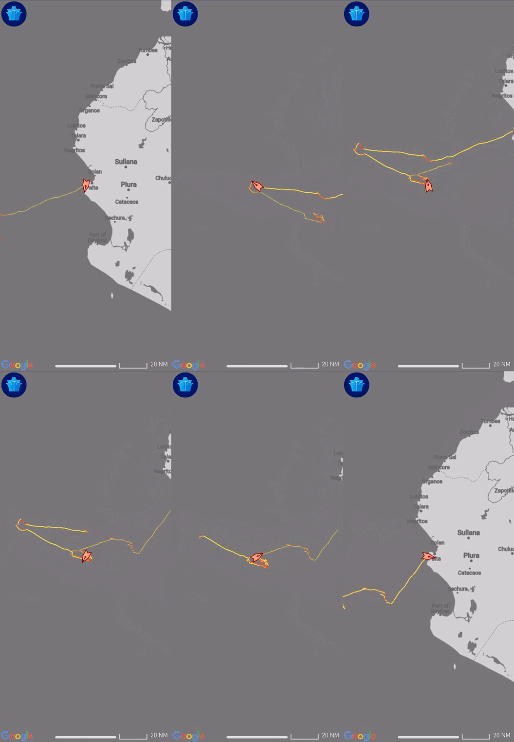
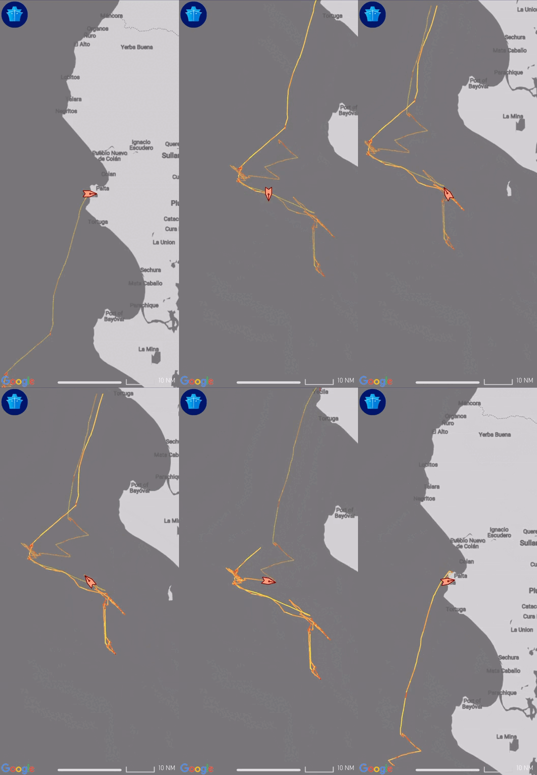
In this context, Artisonal, a company dedicated to the innovation of fishing technologies, and the National Artisanal Fishing Society (SONAPESCAL) signed an agreement to start a pilot project that evaluated the feasibility of implementing a low-cost satellite monitoring device for artisanal fleets.
In distant-water artisanal fisheries, safety on board is essential.
The pilot project concluded that, when implementing a monitoring system for artisanal fleets, the Peruvian government must prioritize crew safety over inspection since the safe return to port is the priority. On the other hand, industrial fleets are barred from approaching within five nautical miles under fishing rules. They must adhere to stringent fishing limitations, with fishery authorities supervising and monitoring compliance in real-time.
Meanwhile, the artisanal fleet can fish wherever in Peruvian waters, so authorities must prioritize monitoring actions over the crew's distress signals due to accidents or engine failures, particularly in the squid and mahi mahi fisheries, which must go more than 200 miles. As a result, the technological qualities of satellite equipment must be adapted to the conditions of artisanal fishing.

What happens beyond 200 miles?
When a vessel crosses the 200-mile boundary and enters international waters, carrying only conventional VMS satellite devices, it becomes invisible to other vessels, increasing the risk of accidents. In international waters, it is essential to have the AIS system to prevent collisions between vessels. Is there satellite technology that can integrate both systems?
Given these needs, we present the MT5000 satellite equipment developed by Orbcomm. This device incorporates a new satellite technology that operates simultaneously as a vessel monitoring system (VMS) and a high-seas collision prevention system (AIS), ideal for Peru's distant-water artisanal fleet.
The duality of the MT5000 allows the shipowner to comply with the Peruvian regulations as part of the formalization process of the Ministry of Production (PRODUCE) and international safety agreements on board at sea. Perfect satellite equipment for the artisanal fleet that guarantees fisher safety contributes to the traceability and, in the future, the sustainability of our oceans.
The satellite system is the first step for traceability.
The satellite positioning systems record fishing trip trajectories, making it possible to know the origin of fishing resources. Data that guarantees traceability throughout the chain until export. Therefore, the Peruvian government has the great challenge of offering alternatives for integrating artisanal fleets into satellite monitoring systems. Without forgetting, these technologies must adapt to the economic and fishing conditions of the Peruvian artisanal fleets.
In addition, the technology must also have direct benefits for users (fishers and shipowners), such as easing the planning of fishing operations, catch unloading, and commercialization. This way, we can ensure fishermen can incorporate satellite technology into their lives and fishing activities.
From Artisonal, we encourage the Peruvian authorities to consider the project results carried out in collaboration with the associations of fishers and shipowners that are part of the National Artisanal Fishing Society (SONAPESCAL). Along these lines, we request the Ministry of Production (PRODUCE) to advance updating satellite regulations to include more satellite providers. This way, artisanal fishers are offered a broader variety of satellite equipment options. Remember that technology is our powerful ally to improve artisanal fisheries management!
Artisonal - Press and Communications
Read the full report. Click


Comments